Weinam Creek Redevelopment – Stage 1
Stage 1 of Redland City Council’s master plan for the Weinam Creek priority development area has commenced.
Construction is underway for Council’s Weinam Creek Priority Development Area, which will provide valuable car parking and include a footbridge and connecting pathway.
Civil works on nine residential lots on Moores Road is now complete, including the widening of Moores Road and shared pathway. The final steps will be the electrical works, particularly moving overhead cables underground.
Designs and reporting for the masterplan are now underway to determine infrastructure, service upgrades and design concepts. Once finalised, the proposed masterplan application will lodged for approval.
Weinam Creek – Development steps
Key Features
- More parking
- Better connection between the north and south sides of the creek
- Improved accessibility and movability through the precinct
- Activation of the foreshore to embrace the bay
NOTE: A boat ramp shown off Moores Road car park will be constructed in future stages of the Masterplan.
The contents of the plan above are conceptual and for discussion purposes only.
All areas and dimensions are approximate and subject to relevant studies, surveys, engineering and approvals.

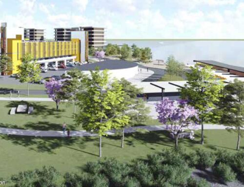
Community benefits
New car parks
New car parks, comprising both ground level and multi-deck parking are planned over the life of the project.
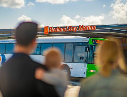
Reconfigured road network to reduce congestion
The precinct will be reconfigured to ease congestion, connecting Hamilton Street to Outridge and Banana streets, incorporating the existing bus route.
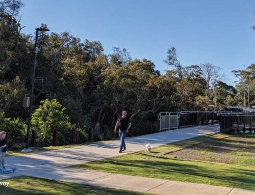
Rejuvenated parks and pathways
More than 46,900m2 of rejuvenated existing park will include new pedestrian and cycle paths and landscaped waterfront walkways to enhance the area and increase security.
Family friendly areas
More than 21,000m2 of new public open space with communal areas providing opportunities for family fun and relaxation.
Boating facilities
A new public boat ramp and additional boat parking is also planned.
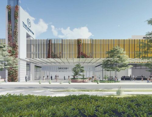
Restaurant, retail and commercial precinct
More than 10,000m2 of lifestyle offerings, including restaurants, cafes, grocery outlets and a potential health precinct will provide convenient, practical amenities and create and support employment opportunities for island and mainland residents.